
The Merrifield Central precinct plan.
What the approved Victorian Planning Authority plan is for: business land, a major town centre, and jobs close to the new suburbs of Melbourne's north.
Shown as business land in the VPA's land use data, covering most of the precinct.
Shown as a major town centre in the west of the precinct, where Merrifield City Shopping Centre trades today.
The planning scheme schedule for the eastern part is titled Merrifield Employment Precinct. Its purpose: "To provide for the development of the site as an integrated, contemporary employment node."
The Hume Freeway runs along the eastern edge, with the Donnybrook Road interchange at the south east corner.
No official jobs figure has been published for this precinct, so this site does not quote one.
The VPA land use data shows no residential land in the precinct. New homes are being built in the surrounding estates.
Source: Victorian Planning Authority, Merrifield Central Employment Area (E1) PSP (VPA 24), approved and gazetted 6 March 2008 under Amendment C092. Land use areas from the VPA Future Urban Structure open data (reference only).
From approved plan to working precinct.
The plan has been in place since 2008. How fast the rest of the land is developed depends on landowners, businesses and planning approvals.
Approved by the Minister for Planning and gazetted 6 March 2008 (Amendment C092) · The VPA publishes no further timeline for this precinct.
- 2008 · Step 1Plan approved
Gazetted 6 March 2008 under Amendment C092 to the Hume Planning Scheme.
- Zoning · Step 2Zones in place
The land sits in the Comprehensive Development Zone, schedules 2 and 4, which set how it can be used and developed.
- Approvals · Step 3Permits and building
Development follows the Hume Planning Scheme, with Hume City Council as the council for the area.
- Today · Step 4Shops open
Merrifield City Shopping Centre already trades in the town centre part of the precinct.
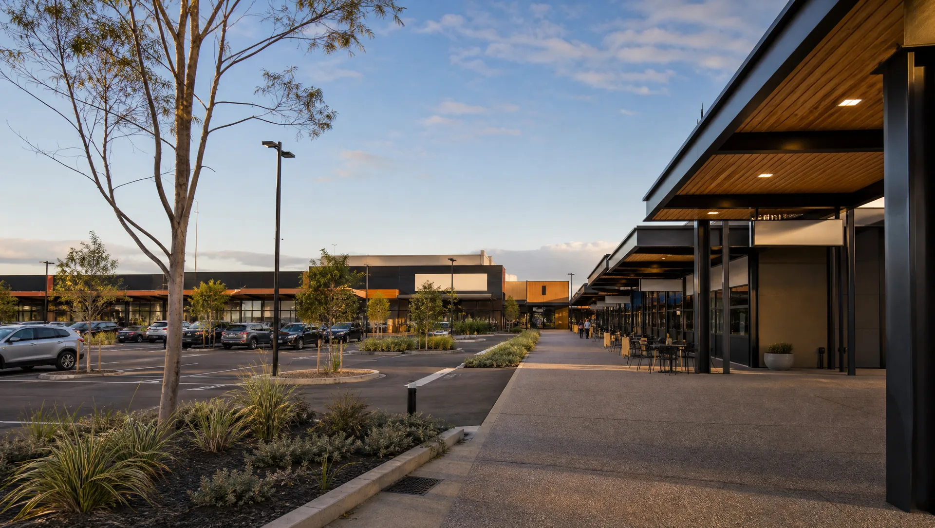
Illustrative image only, not a photo of the precinct.
A major town centre in the west.
About 110 hectares in the west of the precinct is shown as a major town centre in the VPA's land use data. Merrifield City Shopping Centre, with a supermarket, already trades there near Donnybrook Road, about 1 km from the precinct centre.
Read the plan straight from the source.
Status: Approved. The Merrifield Central Employment Area (E1) Precinct Structure Plan was approved by the Minister for Planning and gazetted on 6 March 2008 under Amendment C092 to the Hume Planning Scheme.
The VPA project page links to the Amendment C092 record and publishes no separate plan PDFs for this precinct. HALP links to the official sources and does not host or alter them.